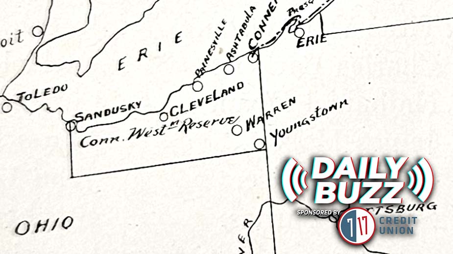
Flashback Minis: 1928 Insurance Maps of Youngstown
YOUNGSTOWN, Ohio– This five volume set of insurance maps was created by the Sanborn Map Co. in 1928. This set was updated until 1961. Throughout the years, updates were made to the pages by pasting corrections over top existing structures.
The maps show the different materials buildings were made with. For example, buildings in brown were constructed from fire proof material, while pink indicates a brick and mortar building.
Copyright 2024 The Business Journal, Youngstown, Ohio.