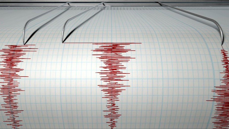
Website Tracks Seismic Activity in Pennsylvania
UNIVERSITY PARK, Pa. — A new website that allows people to track earthquakes and other seismic activity that occurs across Pennsylvania is now live at paseis.geosc.psu.edu.
Hosted by Penn State’s Department of Geosciences, the website provides near real-time, open-access data captured by a network of sensors throughout Pennsylvania and in neighboring states.
The website is an extension of the Pennsylvania State Seismic Network, a collaboration between Penn State and the Pennsylvania Department of Conservation and Natural Resources and Department of Environmental Protection.
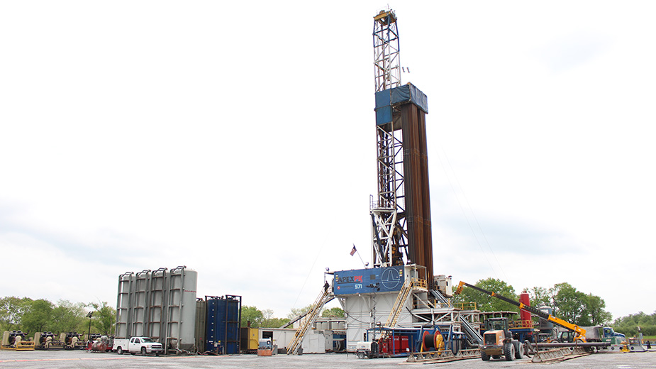
The network operates 30 state-of-the-art seismic stations, and taps into other networks in and around Pennsylvania, to detect and record ground vibrations associated with seismic activities like earthquakes and mining blasts.
Data captured by the network is regularly uploaded to the website and is freely available for review.
“All that data is online and open access to government agencies, academics, industry and people interested in earthquakes,” said Andy Nyblade, professor of geosciences at Penn State and principal investigator on the seismic network project. “Anyone can access the data.”
Information on the magnitude, time and location of seismic events is readily available. Additional details on the network and seismic stations are also available online.
SOURCE: Penn State University news service.
Copyright 2024 The Business Journal, Youngstown, Ohio.